Coon Bluff Recreation Site
Fast Flight Facts
Target Species: Desert Riparian bird species
Elevation: 1400'
Habitat: Desert Riparian habitat strongly made up of mesquite bosque along the Salt River
Overall Birding Rating: 5
Difficulty: 1 (Easy)
Birding Type: Easy Hiking, Owling
Facilities: Parking, restrooms, camping
Fees/Ownership: Six dollar Tonto National Forest Fee
Closest Town or City/How far from Phoenix: Mesa /25.5 miles east-northeast of Phoenix
Getting there: Accessed from road that leads a short distance to the recreation site from the Bush Highway
Overview: The Coon Bluff Recreation Site is an excellent site that is a great choice for stopping on a birding outing. The area has great mesquite habitat that includes more dense mesquite bosque as well as open mesquite with desert habitats mixed in. Views of the Salt River are amazing at this site, as the hiker is on a tall bank that overlooks the river on a trail that runs west of the parking lot. A good distance east of the parking area is where the trails level up with the river, but a lot of this place has taller banks overlooking the river. At the west end of the parking lot, are tall cliffs overlooking the area that provide good habitat and to the east are some nice cottonwood stands as well as several willows.
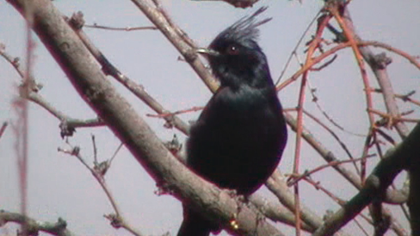
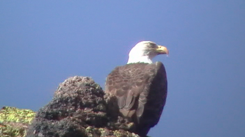
The Coon Bluff Recreation Site is perhaps the best place in Maricopa County to observe large numbers of the desert-dwelling Phainopepla. These black silky-flycatchers are attracted to the heavy mesquite habitat that is all along this recreation site, especially along the entrance road. A plant that grows on the mesquites, the mesquite mistletoe, is a parasite that is a true evergreen plant. The mesquite mistletoe produces fruits that the Phainopeplas love to feed on. Other birds that are typical in mesquite habitat that are to be expected throughout the year here include White-winged Dove, Anna's Hummingbird, Gila and Ladder-backed Woodpeckers, Gray Flycatcher, Ash-throated Flycatcher, Vermilion Flycatcher, Loggerhead Shrike, Brown Creeper (sometimes), Black-tailed Gnatcatcher, Ruby-crowned Kinglet, Western Bluebird, American Robin (some years), Northern Mockingbird, Lucy's and Yellow-rumped Warblers, Lark and White-crowned Sparrows, Dark-eyed Junco, and Bullock's Oriole. The area also has a lot of saguaro cactus desert type of habitat for the usual desert birds that include Gambel's Quail, Greater Roadrunner, Verdin, Cactus and Rock Wrens, Black-tailed Gnatcatcher, Curve-billed Thrasher, Black-throated Sparrow and Northern Cardinal. West of the parking lot lies a trail that goes along a steep bank along the Salt River that is overshadowed by cliffs. Along this stretch, it is regular to see Canyon Wrens along the cliffs and rocks. A Bald Eagle will commonly perch on top of the cliffs. Looking down along the river in the winter months will usually result in a Spotted Sandpiper or two. Following trails east of the parking lot along the river will take the birder along mixed habitat that adds cottonwood stands, willows, and tamarisk to the mix. These are good areas to check during the migrations as well as winter. Birding along the river usually doesn't produce a lot of water birds at the immediate recreation site of Coon Bluff, but exploring up the river both sides to the east and west will always give the birder a chance at finding an unusual water bird. Birds typically seen along the river here are Mallard, Pied-billed Grebe, Great Blue Heron, Great and Snowy Egrets, American Coot, Killdeer, Spotted Sandpiper, Greater Yellowlegs, and Least Sandpiper. Birding the river will also give good opportunities to view swallows in migration.
OWLING: The Coon Bluff Recreation Site is a very good place to visit at night to listen for Elf, Great Horned, and Western Screech-Owls. The entrance road to the recreation site is a good place to walk for the owls. Several trails branch off the entrance road and will take one through the habitats. Park anywhere along the entrance road at any of the convenient pull offs before getting to the parking spot (where Tonto Pass is required), and enjoy walking and listening. Besides owls, Common Poorwills and Lesser Nighthawks may be heard to round out the night birding.
Birding Tip: When birding at Coon Bluff, the best birding will result in thoroughly covering the area with patience. There are several good trails here to hike both east and west of the main parking lot. To see a high variety of birds, cover both sides. The west side is less extensive, but will provide opportunities with more birds of prey and species that favor cliff edges such as Canyon Wrens. East of the parking lot, by following the river and trails, there are willows and cottonwoods that should be explored as well as the regular habitat here. Along the Salt River, some places are very passable, but a lot of the north side of the river is PRIVATE PROPERTY, as it is on Indian lands. More east of the parking lot along the river, it is adjacent to National Forest Lands, which is permissible to bird and explore. Be sure to consult a map of Indian land boundaries before attempting to bird on the other side of the river. Good birding opportunities are bound to lie on the other side of the river once it is explored.
Directions: If coming north up the Bush Highway, the Coon Bluff Recreation Site is the third recreation area, and is between mile markers 25 and 26 on the north side of the road. Follow Coon Bluff Road until the parking area is reached.
Pages:
Scenes and Sights from the Coon Bluff Recreation Site:
Birdlife of the Coon Bluff Recreation Site:
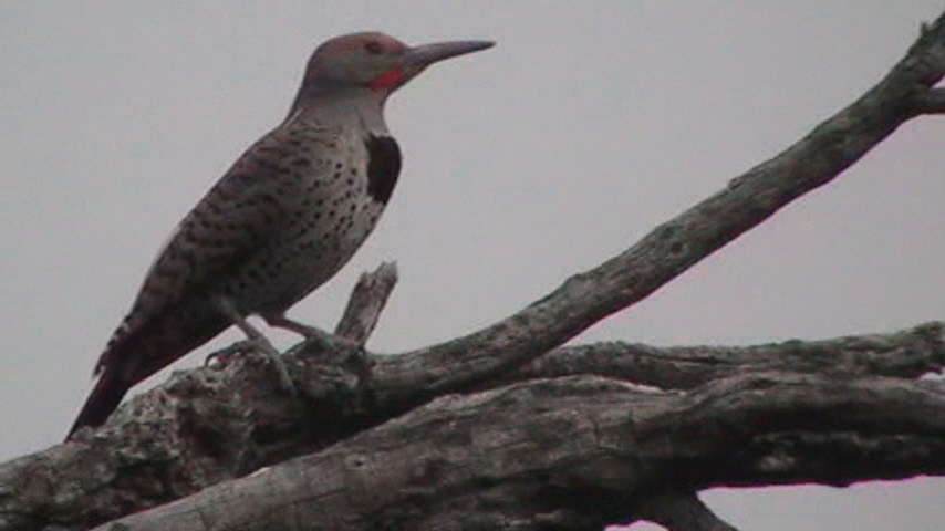
Gilded Flicker
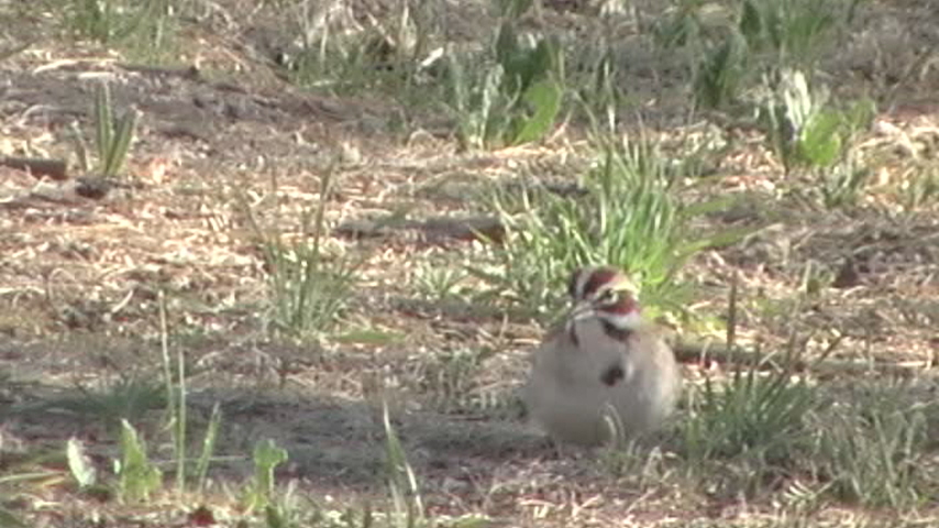
Lark Sparrow
Phainopepla
Bald Eagle
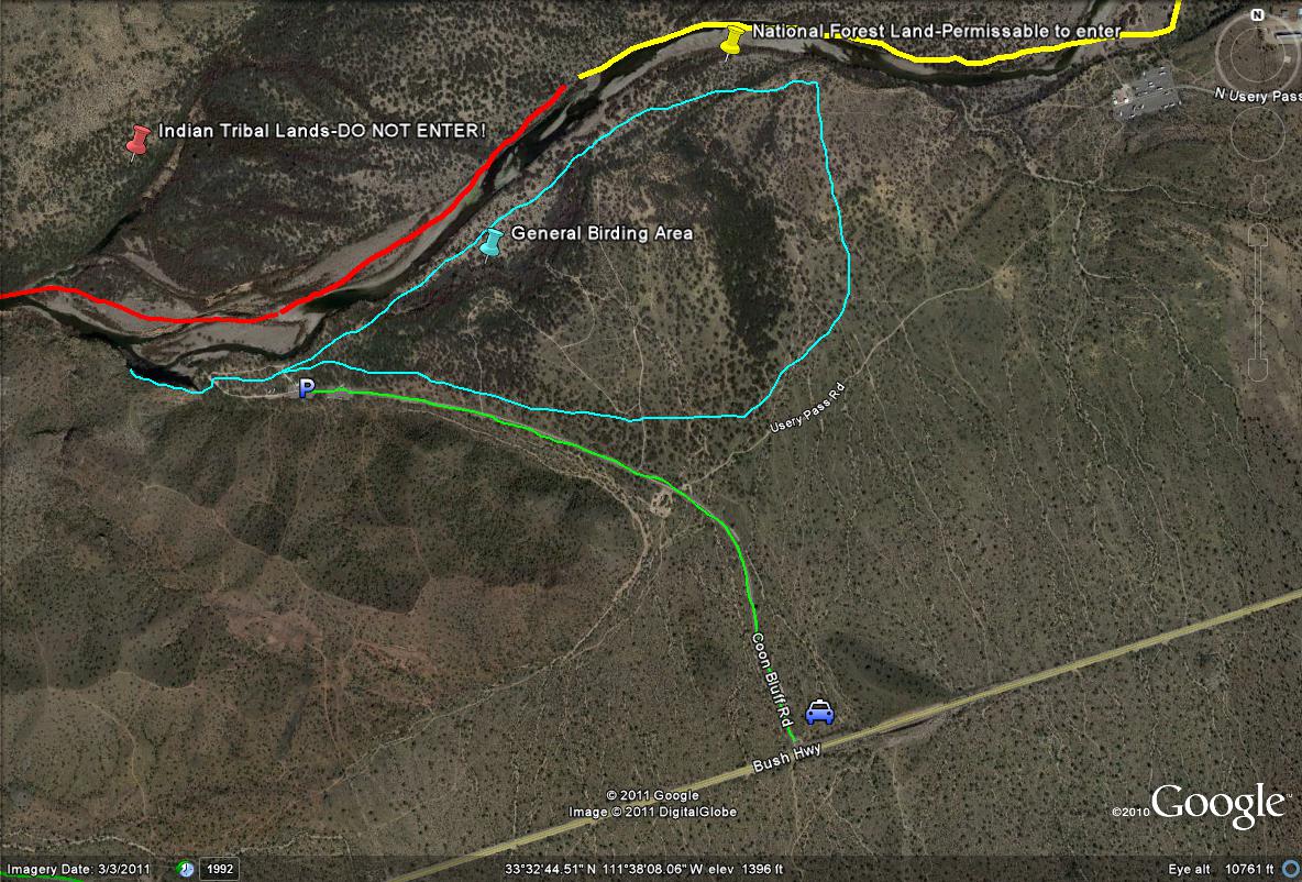
Coon Bluff Recreation Site Map
*All maps property of Google
Lime-green path/line: Shows the entrance road to Coon Bluff, which is just over a mile in length. Good birding oppurtunities present themselves along this road.
Light-blue path/lines: Shows the general birding area in the Coon Bluff Recreation Site, whether exploring the many side trails or right along the river. Most of the birding lies east of the parking lot, with limited but good habitat to the west.
Red path/line: Shows the general area of the Indian Tribal Lands, so don't bird on this stretch of the north side of the Salt River.
Yellow Path/line: In the general area east of the parking lot, crossing the Salt River and birding on the north side is permissable, due to the fact this is now National Forest Land. Consult a map for exact distances and lengths.
No comments:
Post a Comment